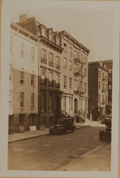
Manhattan: Bleecker Street - Christopher Street
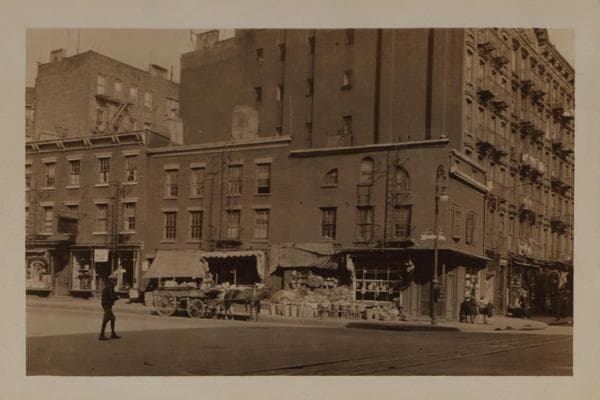
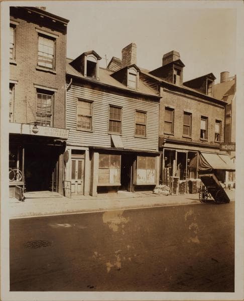
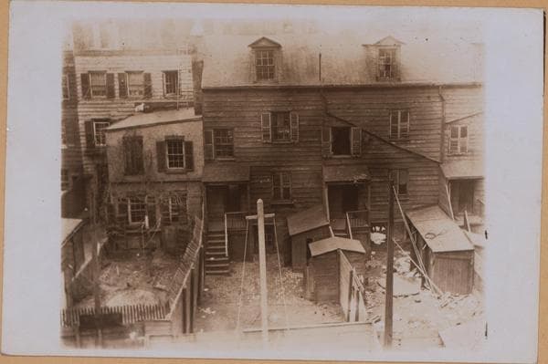
329 to 343 (old Nos. 313-327) Bleecker Street, east side, at, adjoining, and north from Christopher Street. 329-331, 339, and 343 are frame houses with brick facings. The frame house on the corner is No. 93 Christopher Street or 329 (old No. 313) Bleecker Street, the house where the New York Commissioners met from 1807 to 1811 to plan the checkerboard layout of New York's numbered streets and was reached by crossing open fields. From here north they named this particular street George Street. From Christopher Street southeast to Minetta and Hancock Streets (the latter was absorbed in 1928 by Sixth Avenue Extension), a street called Herring or Herring's Street was already laid out, in the territory which had been the Herring Farm. Thomas Paine was living, in 1808-1809, about two blocks down the same side of Herring Street. At the Hancock-Minetta end, Herring Street met an east-west street called David Street, Bleecker Street, on the map of 1811, was a short street west from, and parallel to, the Bowery, extending to Broadway. But in a few years Bleecker and David Streets had been more gracefully joined, and Bleecker swallowed up the other three streets, absorbing Herring Street in 1829 and David Street even earlier. Later, around the time of the Civil War, 16 was added to the house numbers in this part of Bleecker Street. June, 1925. BROWN BROS. M.R.
Photo from the New York Public Library - Milstein Collection


![Manhattan: Grove Street - [Bleecker Street]., 1935](/_next/image?url=https%3A%2F%2Fimages.vestigesofnewyork.com%2F600px%2F31e0e40f-96e7-4a50-9694-dc3dcc3c5b9d.jpg&w=3840&q=75)