Richmond: Woodrow Road - Arthur Kill Road
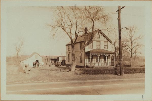
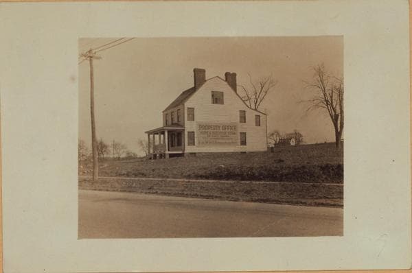
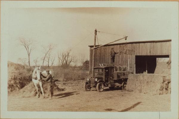
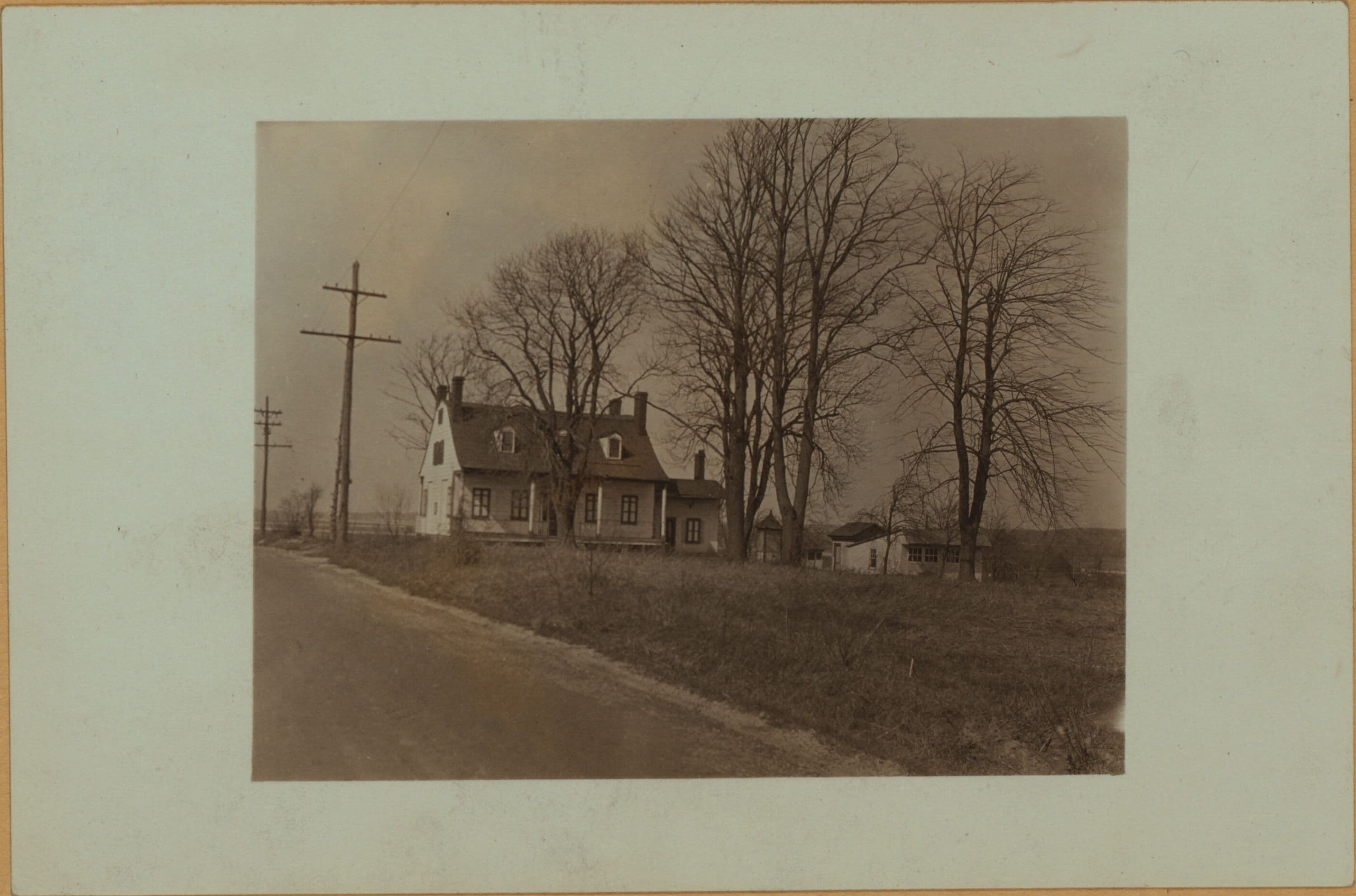
(1) Woodrow Road, east side, 800 feet south of Arthur Kill Road, showing the D. V. H. Floyd House (Butlere 1853 map). From 1874 to 1898 the maps show it to have been the H. Barger house, and from 1907 to 1917 the Dierauf house. This is the north side of the dwelling. April 9, 1927 P. L. Sperr (2) Looking north and showing the south side of the house. April 9, 1927 P. L. Sperr
Photo from the New York Public Library - Milstein Collection