1939
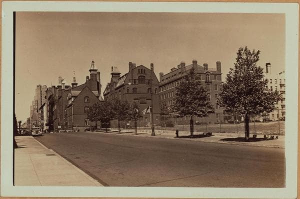
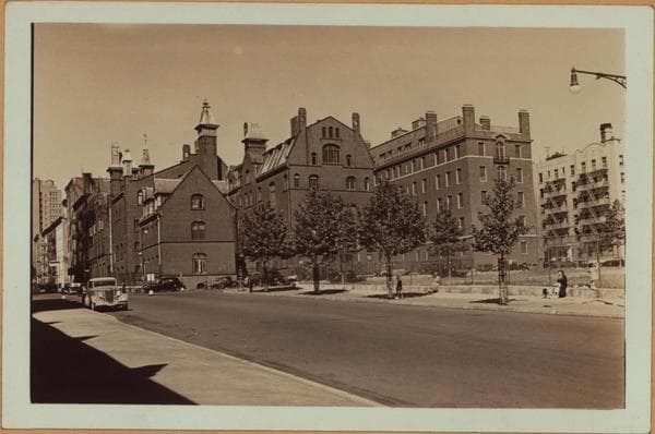
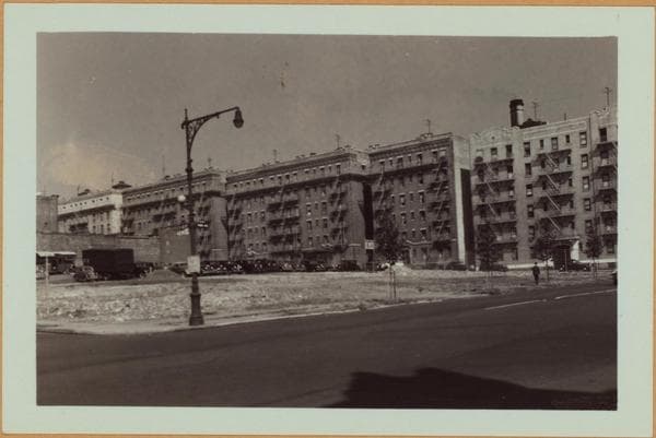
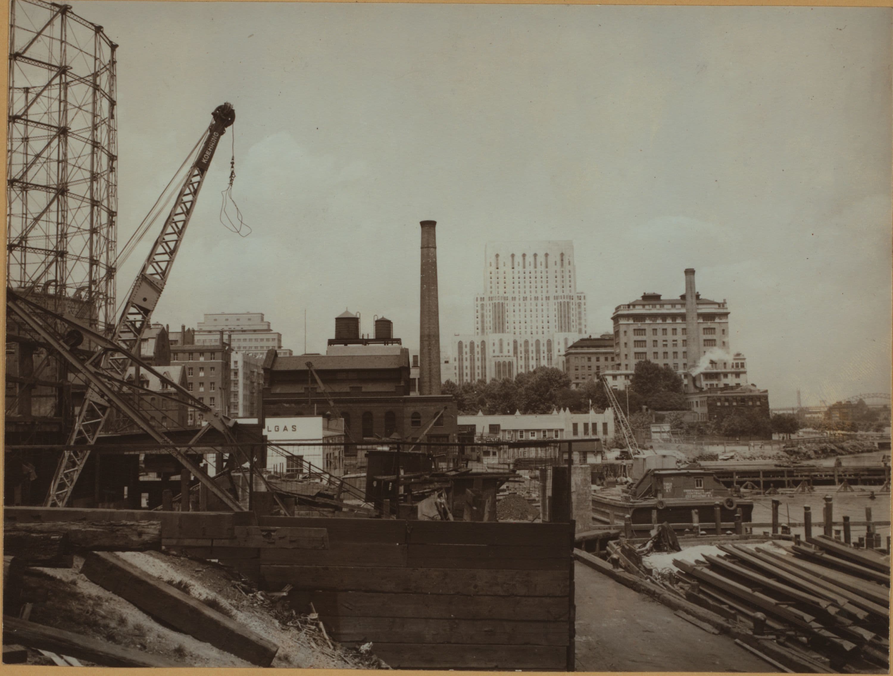
East River - Shore and skyline of Manhattan from East 61st Street - Williamsburg and Queensborough Bridges.
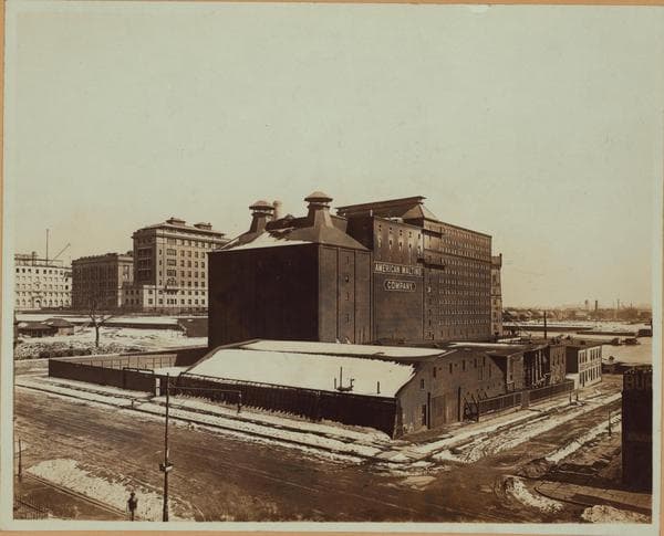
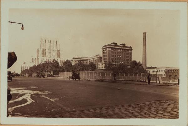
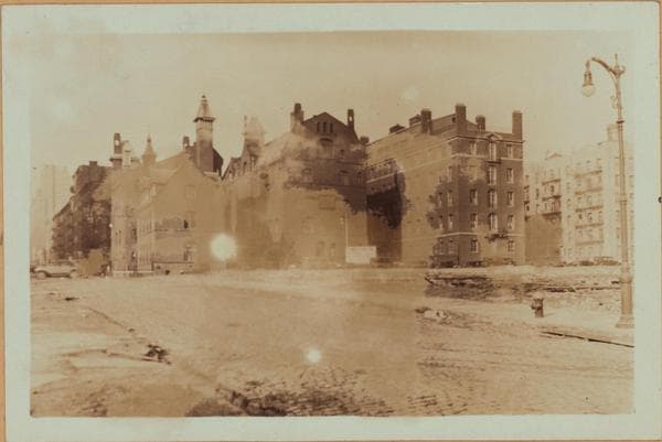
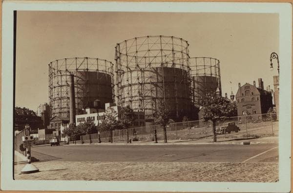
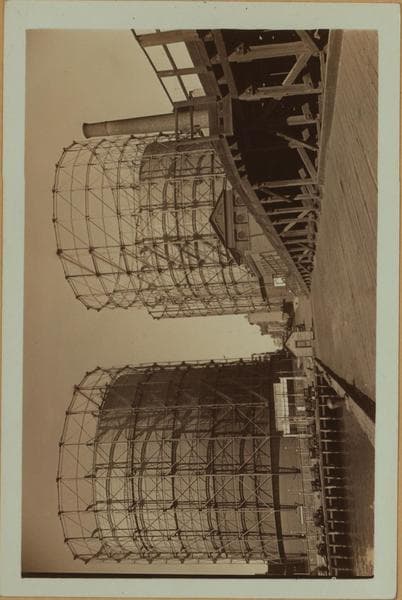
East River - Manhattan - Shore and sky line - north from the foot of E. 61st Street, showing the marginal area prior to fill and construction of the circumferential Eat River Drive. To the right is Marie Curie Avenue (formerly Exterior Street) a thoroughfare that will be absorbed passing to the east of the Rockefeller Institute for Medical Research and the New York Hospital and Cornell Medical College units. At the left is York Avenue, with gas holders, the New York Homoeopathic College and Flower Hospital and the new Memorial Hospital for Cancer (opened June 1939) on the west side of the same. In the center of this view is the smoke stack and building of the Consolidated Gas Co's. pumping station at the N. E. corner of York Avenue and E. 62nd Street. June 24, 1939 Gift of George Jiranek New York Public Library Photostat Division
Photo from the New York Public Library - Milstein Collection