VVestiges of New York49,000+ historical photos
MapBrowseAboutGet the iPhone app (opens the App Store)
  1. Browse /
  2. Queens /
  3. This place

Maspeth Avenue & 55th Street, Queens

8 historical photos taken here between 1923 and 1929, oldest first.

See this spot on the map

Photos

  • Queens: Maspeth Avenue - 55th Street, 1923–1924

    Queens: Maspeth Avenue - 55th Street

    1923; 1924

  • Queens: Maspeth Avenue - 55th Street, 1923–1929

    Queens: Maspeth Avenue - 55th Street

    1923; 1929
  • Queens: Maspeth Avenue - 55th Street, 1923–1929

    Queens: Maspeth Avenue - 55th Street

    1923; 1929
  • Queens: Maspeth Avenue - 55th Street, 1923–1924

    Queens: Maspeth Avenue - 55th Street

    1923; 1924
  • Queens: Maspeth Avenue - 55th Street, 1923–1924

    Queens: Maspeth Avenue - 55th Street

    1923; 1924
  • Queens: Maspeth Avenue - 55th Street, 1923–1924

    Queens: Maspeth Avenue - 55th Street

    1923; 1924

  • Queens: Maspeth Avenue - 55th Street, 1923–1929

    Queens: Maspeth Avenue - 55th Street

    1923; 1929

  • Queens: Maspeth Avenue - 56th Street, 1929

    Queens: Maspeth Avenue - 56th Street

    1929

Stand where these photos were taken

The free OldNYC app for iPhone centers the map on you and shows the historical photos taken closest to where you are.
Download on the App Store (opens the App Store)
QR code that opens OldNYC on the App Store

Or scan with your iPhone

Nearby places

  • Maspeth Avenue & 57th Street, Queens (5 photos)
  • Maspeth Avenue & 54th Street, Queens (4 photos)
  • Flushing Avenue & 52nd Street, Queens (7 photos)
  • Flushing Avenue & Metropolitan Avenue, Queens (7 photos)
  • Grand Avenue & 58th Street, Queens (3 photos)

Explore

  • Map
  • Browse by place
  • Browse by decade

Boroughs

  • Manhattan
  • Brooklyn
  • Queens
  • Bronx
  • Staten Island

About

  • About and contact
  • Privacy

Photos: The New York Public Library, Milstein Collection

OldNYC for iPhone

Find the historical photos taken closest to where you stand.

Download on the App Store (opens the App Store)QR code that opens OldNYC on the App Store
Queens: Maspeth Avenue - 55th Street, 1923–1929

Photo 7 of 8 at Maspeth Avenue & 55th Street, Queens

Queens: Maspeth Avenue - 55th Street

1923; 1929

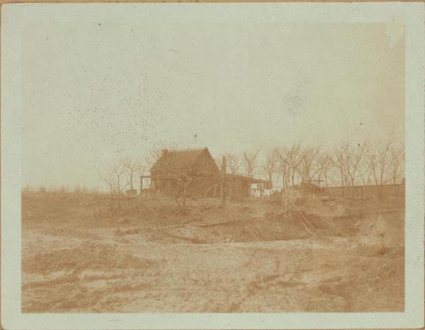
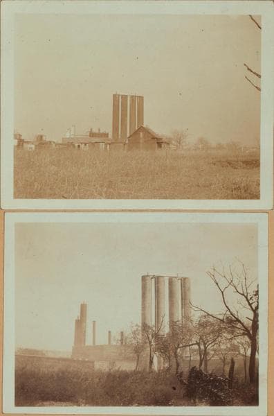
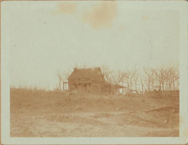
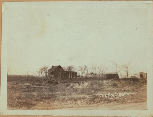
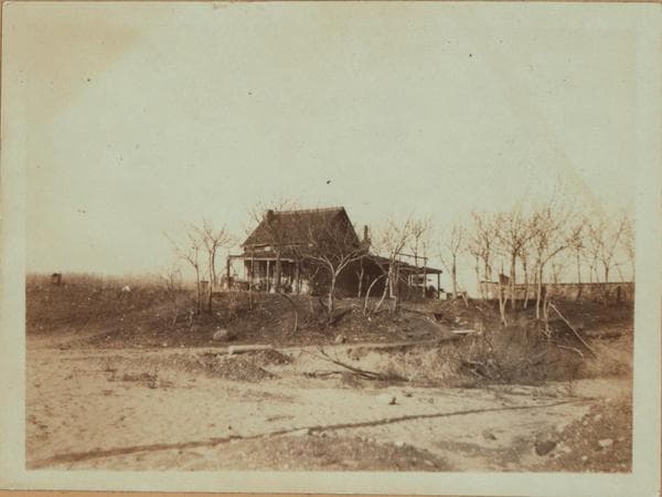
Maspeth Ave. (when constructed will extend along front of this house in foreground), north side, between 55th and 56th Streets, showing the Way farmhouse. Beyond it is the Liquid Carbonic Company at the N.W. corner of 57th Street and Maspeth Ave. This farmhouse was erected in the early 17th Century by James Way. His large estate included a part of the Judge Furman tract. His son John acquired it in 1691 and the latter's son James, in 1729. A nephew Samuel, and after him, his daughter Jane had possession. Her son, Dr. Henry Mott, sold the farm in 1815 to Garret Furman. Other owners were W.H. Furman 1852-1873, and P. Grussy in 1891. The house was demolished in 1929. A private burial place was at the right of the house opposite 56th Street. This is a set of four views. March 1923. Views 1 and 2. View 3: March 1929. View 4: September 1929. Eugene L. Armbruster Collection.

Photo from the New York Public Library - Milstein Collection

See this spot on the mapView on NYPL Digital Collections (opens in a new tab)

See this photo in high resolution

Zoom into the full-resolution scan in the OldNYC app for iPhone with OldNYC Supporter ($4.99). The free app also centers the map on you, so you can find the photos taken closest to where you stand.
Download on the App Store (opens the App Store)
QR code that opens OldNYC on the App Store

Or scan with your iPhone