VVestiges of New York49,000+ historical photos
MapBrowseAboutGet the iPhone app (opens the App Store)
  1. Browse /
  2. Staten Island /
  3. This place

Richmond Terrace & Tysen Street, Staten Island

16 historical photos taken here between 1880 and 1938, oldest first.

See this spot on the map

Photos

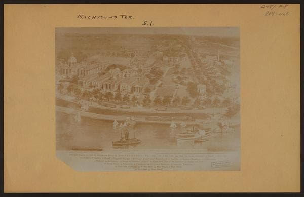
  • Richmond: Richmond Terrace - Tysen Street, 1880

    Richmond: Richmond Terrace - Tysen Street
    1880

  • Richmond: Richmond Terrace - Tysen Street, 1900

    Richmond: Richmond Terrace - Tysen Street

    1900

  • Richmond: Richmond Terrace - Tysen Street, 1924–1932

    Richmond: Richmond Terrace - Tysen Street

    1924; 1932

  • Richmond: Richmond Terrace - Tysen Street, 1924–1932

    Richmond: Richmond Terrace - Tysen Street

    1924; 1932

  • Richmond: Richmond Terrace - Tysen Street, 1924–1932

    Richmond: Richmond Terrace - Tysen Street

    1924; 1932

  • Richmond: Richmond Terrace - Tysen Street, 1925–1927

    Richmond: Richmond Terrace - Tysen Street

    1925; 1927

  • Richmond: Richmond Terrace - Tysen Street, 1925–1927

    Richmond: Richmond Terrace - Tysen Street

    1925; 1927

  • Richmond: Richmond Terrace - Tysen Street, 1925–1927

    Richmond: Richmond Terrace - Tysen Street

    1925; 1927

  • Richmond: Richmond Terrace - Tysen Street, 1927

    Richmond: Richmond Terrace - Tysen Street
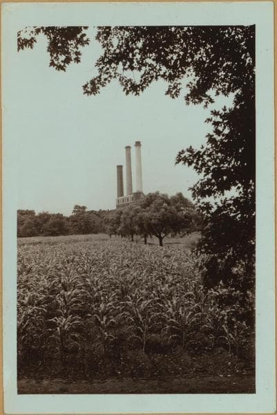
    1927

  • Richmond: Richmond Terrace - Tysen Street, 1931–1938

    Richmond: Richmond Terrace - Tysen Street

    1931; 1937; 1938

  • Richmond: Richmond Terrace - Tysen Street, 1931–1938

    Richmond: Richmond Terrace - Tysen Street

    1931; 1937; 1938
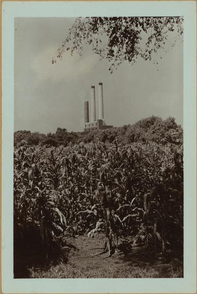
  • Richmond: Richmond Terrace - Tysen Street, 1931–1938

    Richmond: Richmond Terrace - Tysen Street

    1931; 1937; 1938

  • Richmond: Richmond Terrace - Kissel Avenue, 1932

    Richmond: Richmond Terrace - Kissel Avenue

    1932

  • Richmond: Richmond Terrace - Kissel Avenue, 1932

    Richmond: Richmond Terrace - Kissel Avenue

    1932

  • Richmond: Richmond Terrace - Tysen Street, 1905–1933

    Richmond: Richmond Terrace - Tysen Street

    1905; 1926; 1933

  • Richmond: Richmond Terrace - Tysen Street, 1905–1933

    Richmond: Richmond Terrace - Tysen Street

    1905; 1926; 1933

Stand where these photos were taken

The free OldNYC app for iPhone centers the map on you and shows the historical photos taken closest to where you are.
Download on the App Store (opens the App Store)
QR code that opens OldNYC on the App Store

Or scan with your iPhone

Explore

  • Map
  • Browse by place
  • Browse by decade

Boroughs

  • Manhattan
  • Brooklyn
  • Queens
  • Bronx
  • Staten Island

About

  • About and contact
  • Privacy

Photos: The New York Public Library, Milstein Collection

OldNYC for iPhone

Find the historical photos taken closest to where you stand.

Download on the App Store (opens the App Store)QR code that opens OldNYC on the App Store
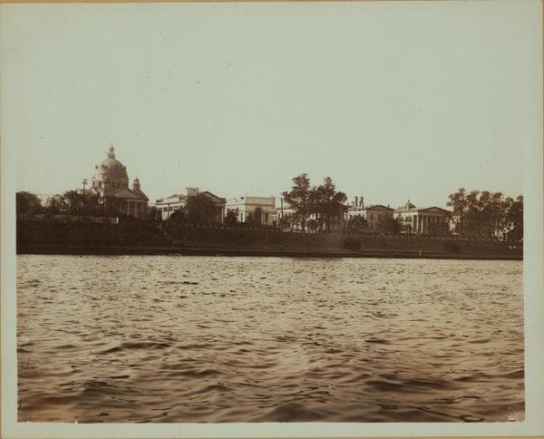
Richmond: Richmond Terrace - Tysen Street, 1900

Photo 2 of 16 at Richmond Terrace & Tysen Street, Staten Island

Richmond: Richmond Terrace - Tysen Street

1900

Richmond Terrace, south side, between Tysen Street and Kissel Avenue, showing Sailors' Snug Harbor, seen from the Kill Van Kull. On the left is the Randall Memorial Church in the style of the late Italian Renaissance. To its right is the Music Hall. The building on the right, with the low dome, is the Main Building, used for administrative purposes. Sailors' Snug Harbor, a home for retired seaman, was founded in 1801 by the will of Captain Robert Richard Randall, son of a privateer, who bequeathed the bulk of his fortune for the establishment and support of an institution for destitute sailors. The site was purchased in 1831 and the asylum was opened in 1833. The Harbor contains more than fifty buildings. About 1900 Photo by August Loeffler From P.L. Sperr Collection

Photo from the New York Public Library - Milstein Collection

See this spot on the mapView on NYPL Digital Collections (opens in a new tab)

See this photo in high resolution

Zoom into the full-resolution scan in the OldNYC app for iPhone with OldNYC Supporter ($4.99). The free app also centers the map on you, so you can find the photos taken closest to where you stand.
Download on the App Store (opens the App Store)
QR code that opens OldNYC on the App Store

Or scan with your iPhone