VVestiges of New York49,000+ historical photos
MapBrowseAboutGet the iPhone app (opens the App Store)
  1. Browse /
  2. Manhattan /
  3. This place

St. Nicholas Avenue & Fort George Avenue, Manhattan

13 historical photos taken here between 1927 and 1940, oldest first.

See this spot on the map

Photos

  • Manhattan: Wadsworth Avenue - St. Nicholas Avenue, 1927

    Manhattan: Wadsworth Avenue - St. Nicholas Avenue
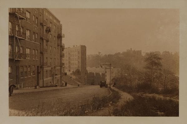
    1927

  • Manhattan: Fairview Avenue - St. Nicholas Avenue, 1927

    Manhattan: Fairview Avenue - St. Nicholas Avenue

    1927

  • Manhattan: St. Nicholas Avenue - Fort George Avenue, 1937

    Manhattan: St. Nicholas Avenue - Fort George Avenue

    1937

  • Manhattan: St. Nicholas Avenue - Fort George Avenue, 1937

    Manhattan: St. Nicholas Avenue - Fort George Avenue

    1937

  • Manhattan: St. Nicholas Avenue - Fairview Avenue, 1937

    Manhattan: St. Nicholas Avenue - Fairview Avenue

    1937

  • Manhattan: St. Nicholas Avenue - Fort George Avenue, 1937

    Manhattan: St. Nicholas Avenue - Fort George Avenue
    1937

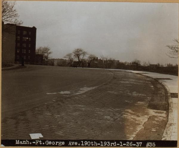
  • Manhattan: Fort George Avenue - 190th Street (West), 1937

    Manhattan: Fort George Avenue - 190th Street (West)

    1937

  • General view - [Manhattan - St. Nicholas Avenue - Fairview Avenue - Dyckman Street (West).], 1937

    General view - [Manhattan - St. Nicholas Avenue - Fairview Avenue - Dyckman Street (West).]
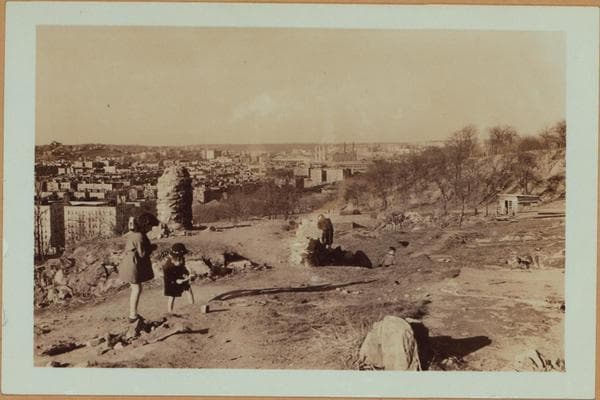
    1937

  • Manhattan: St. Nicholas Avenue - Fairview Avenue, 1937

    Manhattan: St. Nicholas Avenue - Fairview Avenue
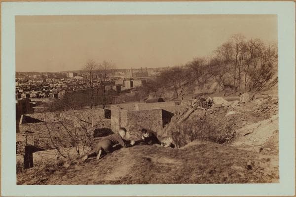
    1937

  • Manhattan: St. Nicholas Avenue - Fairview Avenue, 1937

    Manhattan: St. Nicholas Avenue - Fairview Avenue

    1937

  • Manhattan: St. Nicholas Avenue - Fort George Avenue, 1940

    Manhattan: St. Nicholas Avenue - Fort George Avenue

    1940

  • Manhattan: St. Nicholas Avenue - Fort George Avenue, 1940

    Manhattan: St. Nicholas Avenue - Fort George Avenue

    1940

  • Manhattan: St. Nicholas Avenue - Fort George Avenue, 1940

    Manhattan: St. Nicholas Avenue - Fort George Avenue

    1940

Stand where these photos were taken

The free OldNYC app for iPhone centers the map on you and shows the historical photos taken closest to where you are.
Download on the App Store (opens the App Store)
QR code that opens OldNYC on the App Store

Or scan with your iPhone

Nearby places

  • Audubon Avenue & 193rd Street, Manhattan (5 photos)
  • Broadway & Nagle Avenue, Manhattan (7 photos)
  • Wadsworth Avenue & 189th Street, Manhattan (2 photos)
  • Broadway & West 193rd Street, Manhattan (5 photos)
  • Broadway & 190th Street, Manhattan (7 photos)
  • Bennett Avenue & 192nd Street, Manhattan (3 photos)
  • Wadsworth Avenue & 187th Street, Manhattan (3 photos)
  • Harlem River Drive & Dyckman Street, Manhattan (8 photos)

Explore

  • Map
  • Browse by place
  • Browse by decade

Boroughs

  • Manhattan
  • Brooklyn
  • Queens
  • Bronx
  • Staten Island

About

  • About and contact
  • Privacy

Photos: The New York Public Library, Milstein Collection

OldNYC for iPhone

Find the historical photos taken closest to where you stand.

Download on the App Store (opens the App Store)QR code that opens OldNYC on the App Store
Manhattan: St. Nicholas Avenue - Fort George Avenue, 1940

Photo 12 of 13 at St. Nicholas Avenue & Fort George Avenue, Manhattan

Manhattan: St. Nicholas Avenue - Fort George Avenue

1940

St. Nicholas Place, east side, north across W. 150th Street. At the right is the 6-story Audubon Court Apartments. Adjoining same are the several buildings that house the Community Hospital in New York City. These are at the S. E. corner of 150th Street. Across the street at the N. E. corner is the reputed Ringling mansion. One, J. A. Bailey owned same in 1904. This individual may have been one of the famous circus owners, Barnum and Bailey, the predecessors to the present Ringling Brothers. H. Acker is the owner in 1910, Louis Schaefer in 1918 and a Bertha Koemple in 1939. Adjoining this is the minaretted A. Alexander home. View 2 shows only the structures at the N. E. corner. The triangular park that separates St. Nicholas Place from the Avenue of the same name, is Donnelson Square. P. L. Sperr May 19, 1940 April 19, 1940 No. 3 The Community Hospital and it's adjoining buildings as photographed across the aforementioned Donnelson Square. P. L. Sperr June 5, 1940

Photo from the New York Public Library - Milstein Collection

See this spot on the mapView on NYPL Digital Collections (opens in a new tab)

See this photo in high resolution

Zoom into the full-resolution scan in the OldNYC app for iPhone with OldNYC Supporter ($4.99). The free app also centers the map on you, so you can find the photos taken closest to where you stand.
Download on the App Store (opens the App Store)
QR code that opens OldNYC on the App Store

Or scan with your iPhone