VVestiges of New York49,000+ historical photos
MapBrowseAboutGet the iPhone app (opens the App Store)
  1. Browse /
  2. Manhattan /
  3. This place

West 227th Street & Marble Hill Avenue, Manhattan

14 historical photos taken here between 1906 and 1937, oldest first.

See this spot on the map

Photos

  • Manhattan: Marble Hill Avenue - 227th Street (West), 1906

    Manhattan: Marble Hill Avenue - 227th Street (West)
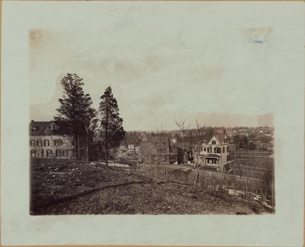
    1906

  • Manhattan: Marble Hill Avenue - 227th Street, 1906

    Manhattan: Marble Hill Avenue - 227th Street

    1906

  • Manhattan: Marble Hill Avenue - 228th Street, 1906

    Manhattan: Marble Hill Avenue - 228th Street
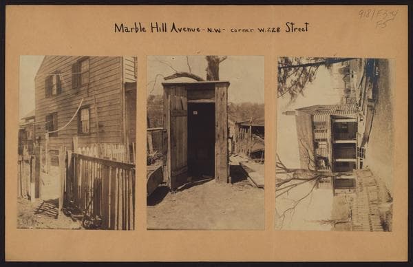
    1906

  • Manhattan: Marble Hill Avenue - 228th Street (West), 1907

    Manhattan: Marble Hill Avenue - 228th Street (West)
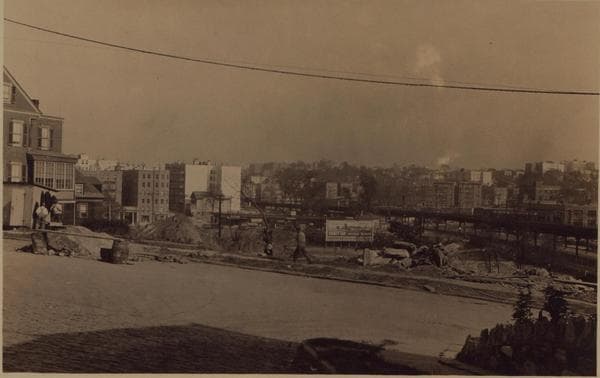
    1907

  • Manhattan: Marble Hill Avenue - Fort Charles Place, 1927

    Manhattan: Marble Hill Avenue - Fort Charles Place
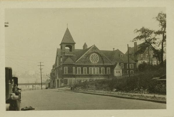
    1927

  • Manhattan: 228th Street (West) - Marble Hill Avenue, 1927

    Manhattan: 228th Street (West) - Marble Hill Avenue
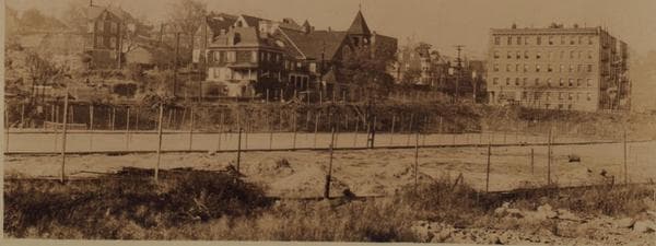
    1927

  • Manhattan: Marble Hill Avenue - Fort Charles Place, 1927

    Manhattan: Marble Hill Avenue - Fort Charles Place
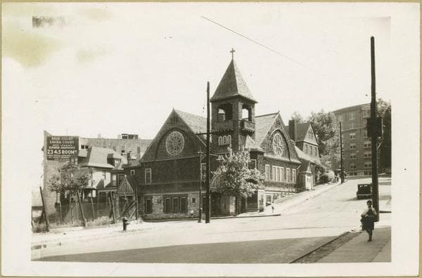
    1927

  • Manhattan: 228th Street - Marble Hill Avenue, 1932

    Manhattan: 228th Street - Marble Hill Avenue
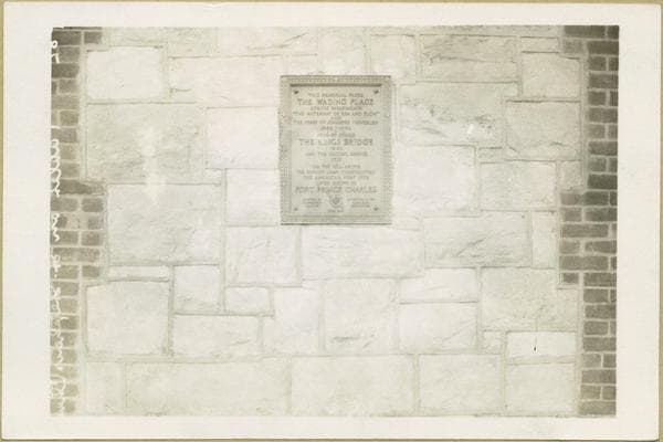
    1932

  • Manhattan: 228th Street - Marble Hill Avenue, 1932

    Manhattan: 228th Street - Marble Hill Avenue
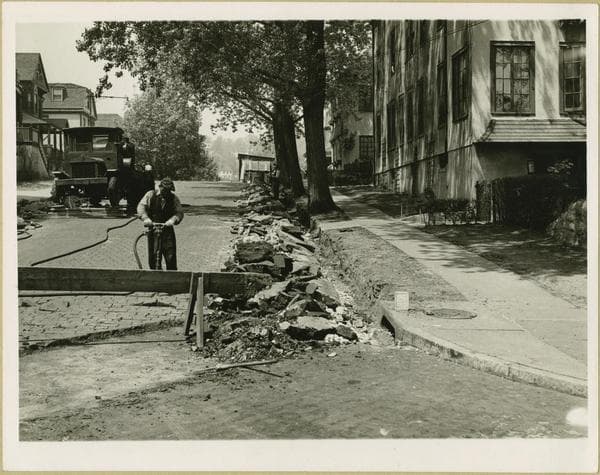
    1932

  • Manhattan: 227th Street (West) - Marble Hill Avenue, 1936

    Manhattan: 227th Street (West) - Marble Hill Avenue
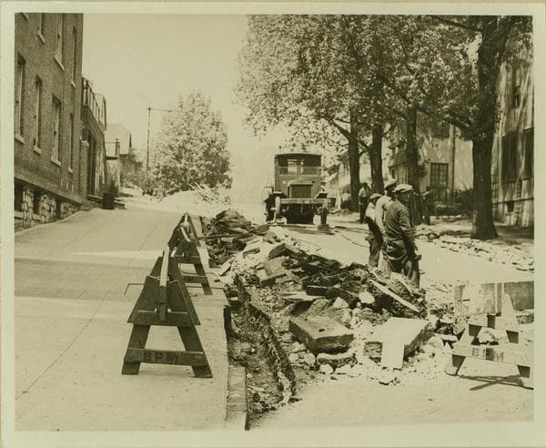
    1936

  • Manhattan: 227th Street (West) - Marble Hill Avenue, 1936

    Manhattan: 227th Street (West) - Marble Hill Avenue
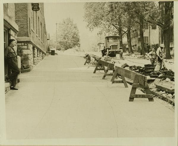
    1936

  • Manhattan: 227th Street (West) - Marble Hill Avenue, 1936

    Manhattan: 227th Street (West) - Marble Hill Avenue
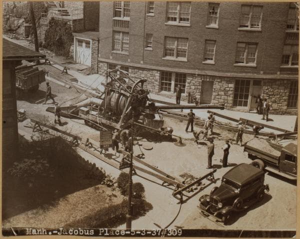
    1936

  • Manhattan: Fort Charles Place - Marble Hill Avenue, 1937

    Manhattan: Fort Charles Place - Marble Hill Avenue

    1937

  • Manhattan: Fort Charles Place - Marble Hill Avenue, 1937

    Manhattan: Fort Charles Place - Marble Hill Avenue

    1937

Stand where these photos were taken

The free OldNYC app for iPhone centers the map on you and shows the historical photos taken closest to where you are.
Download on the App Store (opens the App Store)
QR code that opens OldNYC on the App Store

Or scan with your iPhone

Nearby places

  • Van Corlear Place & West 227th Street, Manhattan (3 photos)
  • Kingsbridge Avenue & Marble Hill Avenue, Bronx (3 photos)
  • West 227th Street & Adrian Avenue, Manhattan (2 photos)
  • Fort Charles Place & Jacobus Place, Manhattan (5 photos)
  • Corlear Avenue & West 230th Street, Bronx (4 photos)
  • Broadway & West 225th Street, Manhattan (12 photos)
  • Exterior Street & Broadway, Bronx (9 photos)
  • Riverdale Avenue & West 230th Street, Bronx (3 photos)

Explore

  • Map
  • Browse by place
  • Browse by decade

Boroughs

  • Manhattan
  • Brooklyn
  • Queens
  • Bronx
  • Staten Island

About

  • About and contact
  • Privacy

Photos: The New York Public Library, Milstein Collection

OldNYC for iPhone

Find the historical photos taken closest to where you stand.

Download on the App Store (opens the App Store)QR code that opens OldNYC on the App Store
Manhattan: Marble Hill Avenue - 227th Street, 1906

Photo 2 of 14 at West 227th Street & Marble Hill Avenue, Manhattan

Manhattan: Marble Hill Avenue - 227th Street

1906

Marble Hill Ave. (formerly Kingsbridge Ave., running from right fore, to center background), north from and including West 227th Street (formerly Wicker Place), showing King's Bridge, thrown across Spuyten Duyvil Creek (no longer in existence) and connecting Manhattan with the Bronx. The 3-story white frame house (right) bears No. 86; next to it, but slightly separated is No. 96, a 2½-story frame house, partially obstructing from view St. Stephen's (M.E.) Church, another frame structure, at the S.E. corner of Marble Hill Ave. and West 228th Street (formerly Terrace View Ave.). The 2½-story frame house, shown prominently, on the left, bears No. 91 Marble Hill Ave., at the N.W. corner of West 227th Street, and is seen facing the latter Street. Between Marble Hill Ave. and the Creek is visible a portion of West 228th Street, and across the Creek, in a northeasterly direction, is the Borough of The Bronx, as seen from the former site of Fort Prince Charles (hill, left foreground). The fort was built in 1776 during the Revolution and was named after Prince Charles William Ferdinand, brother-in-law of King George III. It was constructed for the purpose of controlling passage across King's Bridge, over Spuyten Duyvil Creek, which in turn was built in 1693 by a royal grant given to Frederick Philipse, by King William III, after whom it was named. In 1776 when the Hessian Army made decisive advances against the Colonials the fort was abandoned and in November, the Hessians who took possession of it, named it Fort Prince of Brunswick, a brother-in-law of King George III of England. This area is rich with the glorious traditions of the Colonials, who fought in these environs many a battle under George Washington's command. A flag pole now commemorates the site of the Fort. March 28, 1906. Brown Brothers.

Photo from the New York Public Library - Milstein Collection

See this spot on the mapView on NYPL Digital Collections (opens in a new tab)

See this photo in high resolution

Zoom into the full-resolution scan in the OldNYC app for iPhone with OldNYC Supporter ($4.99). The free app also centers the map on you, so you can find the photos taken closest to where you stand.
Download on the App Store (opens the App Store)
QR code that opens OldNYC on the App Store

Or scan with your iPhone