![East River - Shore and skyline of lower Manhattan - South Ferry - Williamsburg Bridge - Battery Park - Broad Street - [South Brooklyn Municipal Ferry.]](/_next/image?url=https%3A%2F%2Fimages.vestigesofnewyork.com%2Fhigh-res%2F2f35bcdd-62fe-41bf-be6f-3bdeb602081e.jpg&w=3840&q=75)
1924; 1929; 1936
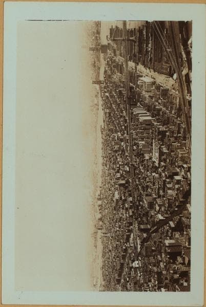
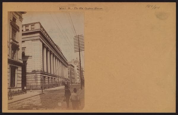
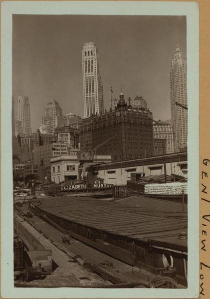
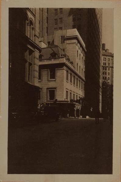
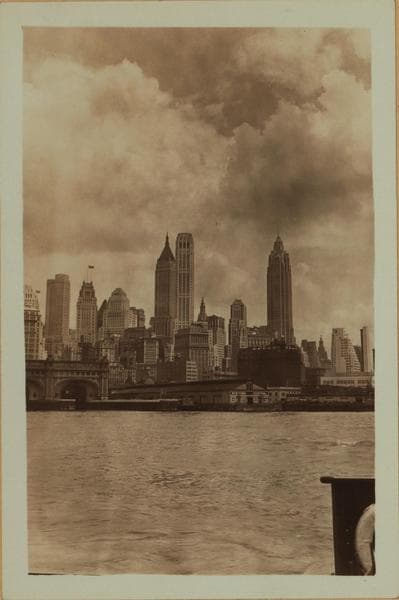
East River - Shore and skyline of lower Manhattan - South Ferry - Williamsburg Bridge - Battery Park - Broad Street - [South Brooklyn Municipal Ferry.]
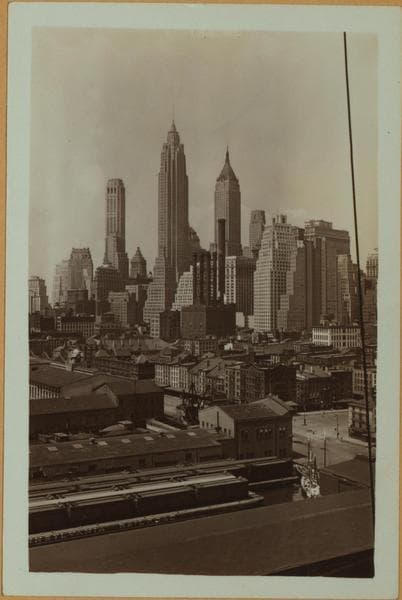
(1) East River, New York's shoreline, from Battery Park (left) to Broad Street, showing (left to right) a portion of the Battery Landing Platform (considered a North River pier); the United States Barge Office; and Ellis Island Ferry landing; the Staten Island Ferry landing, and the landing of the Municipal Ferry to South Brooklyn. Also shown is the Lower Manhattan skyline. 1924. P. L. Sperr. (2) This view includes only the South Brooklyn Ferry landing seen in view 1 and includes a view eastward to Coenties Slip showing piers 4 (New York Central Railroad), and 6 (extreme right). June 4, 1929. P. L. Sperr. (3) The same as view 1, at a later date, showing the change of skyline and the Brooklyn and Manhattan Bridges. The two tall buildings are (left to right) the City Bank Farmers Trust Building and the 60 Wall Street Tower. Note the tug "Invincible" tugging a float of Pennsylvania Railroad cars. November 1, 1936. P. L. Sperr.
Photo from the New York Public Library - Milstein Collection